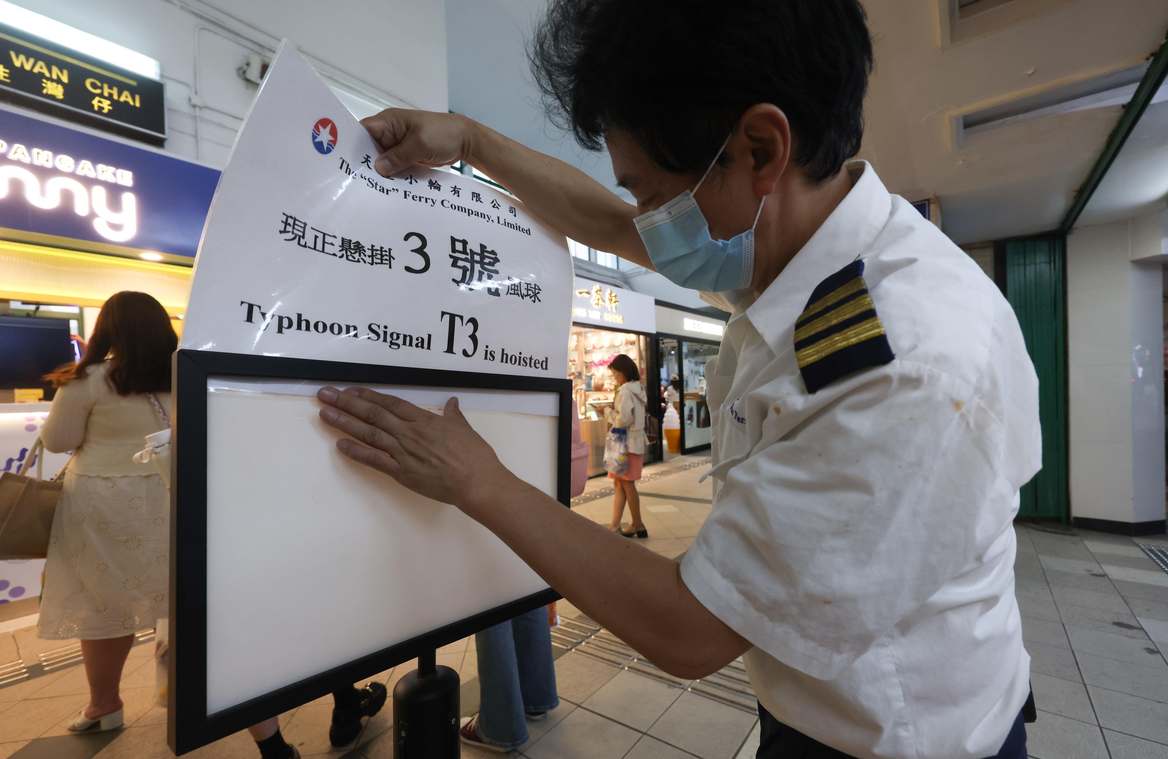
 As the Hong Kong authorities issued Strong Wind Signal No. 3 with Typhoon Koinu moving closer to the city on Oct 6, 2023. (CALVIN NG / CHINA DAILY)
HONG KONG – The Hong Kong Observatory issued Strong Wind Signal No. 3 on Friday as Typhoon Koinu edged closer to the city.
The warning was issued at 5:40 in the afternoon, and will remain in force at least until 4 am on Saturday, the observatory said in a bulletin issued at 8:45 pm.
READ MORE: Residents evacuated as Saola brings Hong Kong to a standstill
Local winds will become generally strong gradually, reaching gale force occasionally on high ground, it warned.
Under the influence of Koinu, there will be squally showers in the coming 2-3 days locally. Showers will be heavy at times on Sunday and Monday
Under the combined effect of Koinu and the northeast monsoon, local winds are expected to strengthen further from Saturday to Sunday with gales over parts of the territory, particularly the southern part, the HKO said.
There will be squally showers in the coming two to three days locally, it said, adding that showers will be heavy at times on Sunday and Monday.
“Koinu has compact circulation and continues to move westwards steadily towards the vicinity of the Pearl River Estuary with typhoon strength,” reads the bulletin.
ALSO READ: Hong Kong experiences hottest summer on record
 A staff member of the Star Ferry Pier in Tsim Sha Tsui changes the warning sign to No. 3 as Typhoon Koinu edged closer to Hong Kong, Oct 6, 2023. (CALVIN NG / CHINA DAILY)
Depending on the intensity and speed of movement of Koinu, as well as the distance of its associated gale winds from Hong Kong, the observatory will then assess the need for issuance of higher tropical cyclone warning signals


