
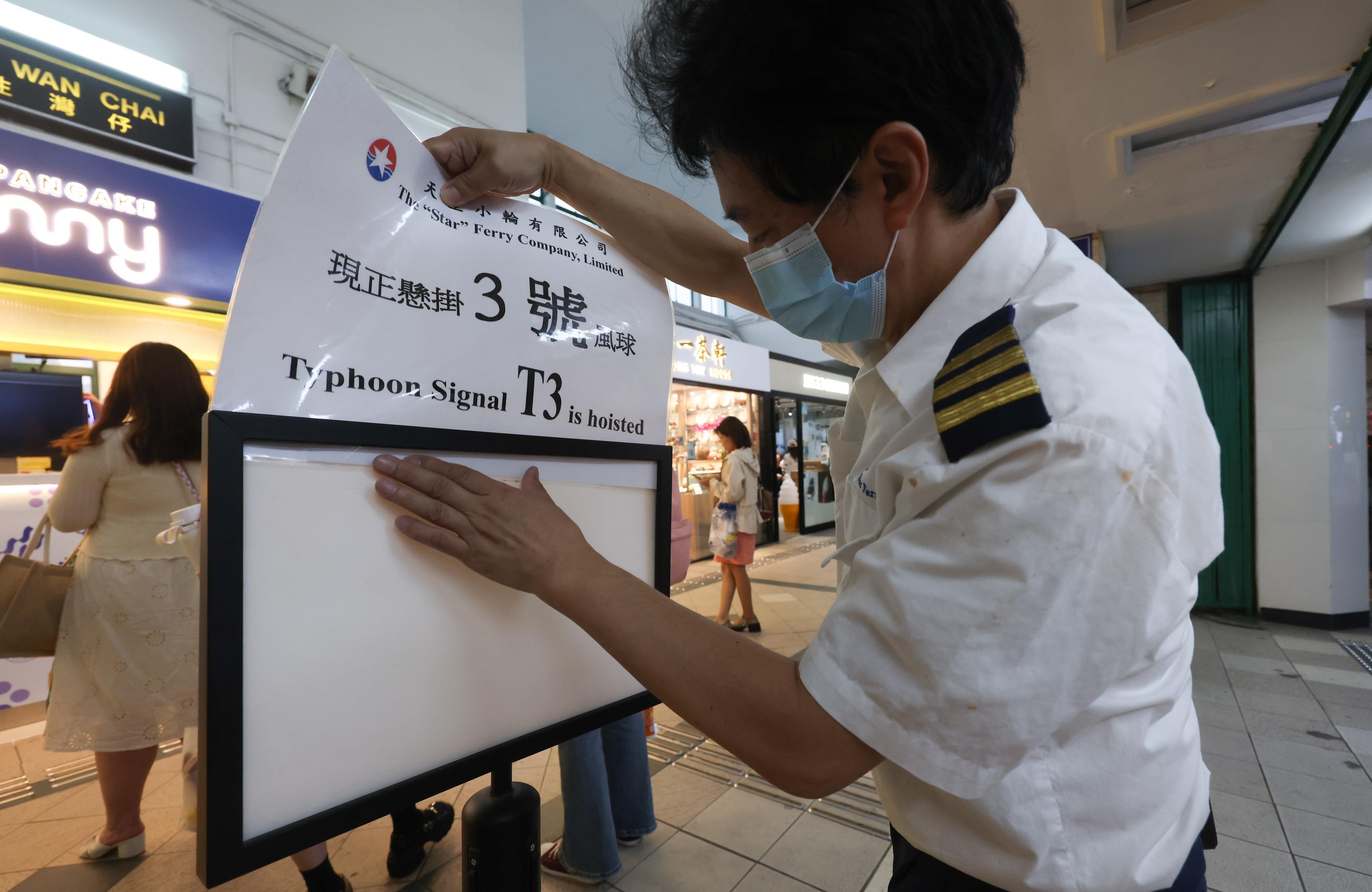
 A staff member of the Star Ferry Pier changes the warning sign to No. 3 as Typhoon Koinu edged closer to Hong Kong, Oct 6, 2023. (CALVIN NG /CHINA DAILY)
HONG KONG — The Hong Kong Observatory said on Saturday afternoon that a Strong Wind Signal No. 3 will remain in force at least until 6 am Sunday as Typhoon Koinu was moving slowly.
At 5 pm, Koinu was estimated to be about 170 kilometers southeast of Hong Kong. It is forecast to move west slowly across the coastal waters of Guangdong province, the HKO said.
With the typhoon edging closer to the city, the observatory issued the T3 warning at 5:40 pm on Friday.
According to a weather bulletin issued at 4:45 pm by the observatory, strong winds were prevailing offshore and on high ground in the city
On Saturday morning, the HKSAR government announced that classes of kindergartens, schools for children with physical disability, and schools for children with intellectual disability would be suspended for the day.
READ MORE: HK observatory issues T3 warning as Koinu moves closer
“These schools, however, should keep their premises open and implement contingency measures to look after arriving students. They should ensure that conditions are safe before allowing students to return home,” the EDB said in a statement.
According to a weather bulletin issued at 4:45 pm by the observatory, strong winds were prevailing offshore and on high ground in the city.
The maximum sustained winds recorded at Waglan Island, Sha Chau and Green Island were 51, 51 and 41 kilometers per hour with maximum gusts exceeding 60, 61 and 54 kilometers per hour respectively, it added.
ALSO READ: Typhoon Koinu set to hammer Guangdong
The typhoon is expected to skirt within 150 km south of Hong Kong on Saturday night and Sunday. Showers will be heavy at times over the territory. “Places that have been sheltered before will become more exposed to high winds. There may be occasional gale winds over some places,” the HKO said.
The need for issuing higher tropical cyclone warning signals will depend on the change in local wind strength, it added.
Coordination
Acting Secretary for Security Michael Cheuk Hau-yip chaired a meeting on Friday afternoon to coordinate various departments’ preparation in response to Koinu, according to a press release.
During the meeting, representatives from 14 bureaus and departments were briefed on the latest assessment of the typhoon and also reviewed the previous influences caused by Super Typhoon Saola and Tropical Cyclone Haikui.
ALSO READ: Poor demand, typhoon, inflationary supply chain hammer HK PMI
The Security Bureau will activate the Emergency Monitoring and Support Centre before the Gale or Storm Signal No. 8 is issued or when in emergency to coordinate the efforts and resource deployment across various departments.