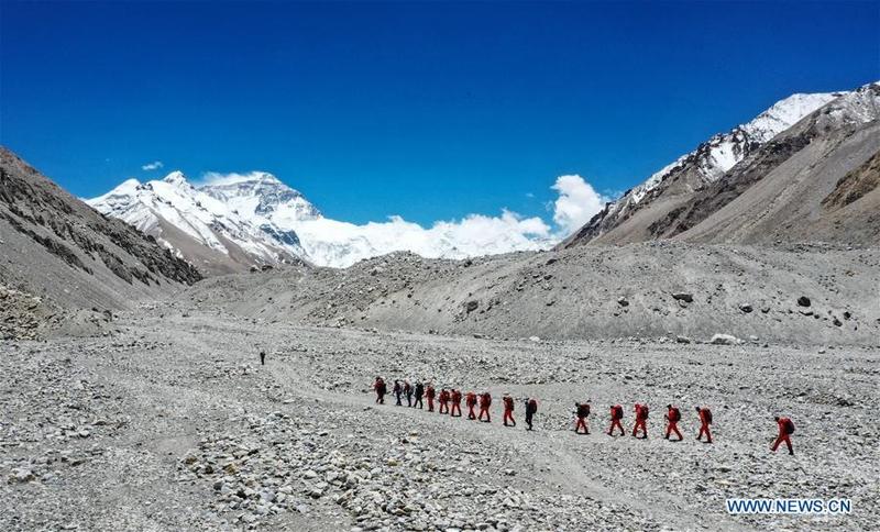
 Chinese surveyors hike toward a higher spot from the base camp at Mount Qomolangma at an altitude of 5,200 meters in this aerial photo taken on May 16, 2020. (PURBU ZHAXI / XINHUA)
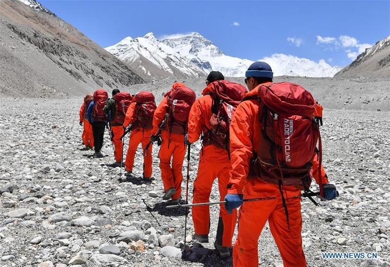
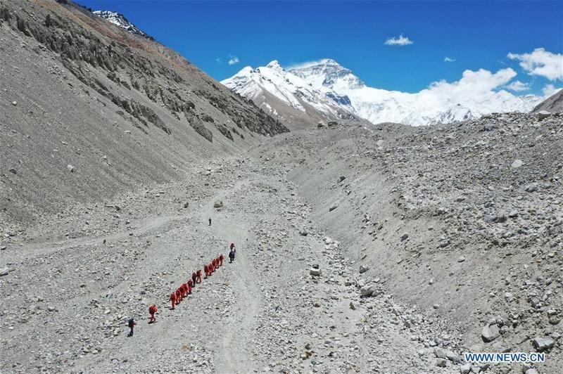
MOUNT QOMOLANGMA BASE CAMP - A team of Chinese remeasuring surveyors left the base camp at Mount Qomolangma for a higher spot on its journey to the peak at 2 pm Saturday after they had earlier returned there due to bad weather.
Located at the China-Nepal border, Mount Qomolangma is the world's highest peak, with its north part located in Xigaze of southwest China's Tibet Autonomous Region
The team is expected to reach the summit on May 22 if weather conditions permit, said Wang Yongfeng, deputy director of the mountaineering administrative center of the General Administration of Sport.
Starting from the base camp at an altitude of 5,200 meters, the team will typically take about a week to reach the summit, passing through five camps at an altitude of 5,800 meters, 6,500 meters, 7,028 meters, 7,790 meters and 8,300 meters, respectively.
On the day of reaching the summit, the surveyors plan to set out from the assault camp at an altitude of 8,300 meters in the early morning, climb to the top in the morning when the weather was relatively good, and then retreated, said Wang.
ALSO READ: Chinese surveyors set out to measure height of Qomolangma
 Chinese surveyors set out toward a higher spot from the base camp at Mount Qomolangma at an altitude of 5,200 meters on May 16, 2020. (SUN FEI / XINHUA)
Previously, the team delayed their original plan to climb to a camp at an altitude of 7,028 meters on May 9 due to the risk of snow slides and returned from the advance camp at an altitude of 6,500 meters. A road construction team building a route from 8,300 meters above sea level to the peak also decided to retreat on Tuesday because of high winds.
The surveyors will judge the optimal time for reaching the summit by the weather forecasts for the north and south slopes of Mount Qomolangma, which are provided by meteorological department in Tibet and professional mountaineering meteorological institution from Switzerland respectively.
Shi Lei, deputy director of Xigaze meteorological bureau, said his team provides the mountaineering teams with daily forecasts of meteorological elements, including weather conditions, temperature, wind direction and speed, on the north slope at altitudes of 6,000, 7,000, 8,000 and 9,000 meters.
 Chinese surveyors hike toward a higher spot from the base camp at Mount Qomolangma at an altitude of 5,200 meters in this aerial photo taken on May 16, 2020. (SUN FEI / XINHUA)
Located at the China-Nepal border, Mount Qomolangma is the world's highest peak, with its north part located in Xigaze of southwest China's Tibet Autonomous Region.
READ MORE: Mountains get seasonal cleaning in Tibet
China initiated a new round of measurement on the height of Mount Qomolangma on April 30. The measurement team consists of members from the Ministry of Natural Resources and the national mountaineering team.
Since the founding of the People's Republic of China in 1949, Chinese surveyors have conducted six rounds of scaled measurement and scientific research on Mount Qomolangma and released the height of the peak twice in 1975 and 2005, which was 8,848.13 meters and 8,844.43 meters respectively.


