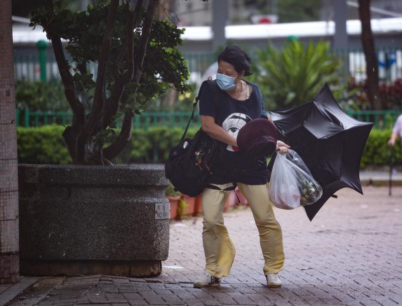
 A woman holds on to her umbrella in Tseung Kwan O amid strong winds brought on by tropical storm Cempaka, which intensified near Hong Kong on July 19, 2021. (CALVIN NG / CHINA DAILY)
HONG KONG – The Hong Kong Observatory issued typhoon warning signal No 3 on Monday afternoon as a tropical storm in the South China Sea intensified.
The HKO raised the Strong Wind Signal No 3 at 4:10 pm, which means that winds with mean speeds of 41 to 62 kilometres per hour were expected in Hong Kong, as tropical storm Cempaka moved toward the west of the Pearl River Estuary.
The rain bands associated with Cempaka brought heavy showers and squalls to the territory, prompting the observatory to issue the Amber Rainstorm Warning twice within a 12-hour period
READ MORE: First black rainstorm warning of 2021 disrupts life in HK
“The area of gales associated with Cempaka is relatively small in size. Unless Cempaka intensifies significantly or adopts a track closer to Hong Kong, the chance of gales over the territory generally is not high,” the HKO said in a weather bulletin issued at 10:45 pm.
“The chance of issuing the No 8 Gale or Storm Signal overnight is not high,” it added.
The Observatory said the Signal No 3 will remain in force for some time overnight and reminded members of the public to monitor the latest weather information before leaving home Tuesday morning.
“The rain bands of Cempaka will bring occasional heavy showers and squalls to the territory tonight and tomorrow,” the HKO said.
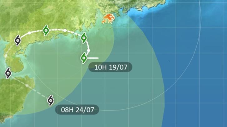
At 11 pm, Severe Tropical Storm Cempaka was estimated to be about 210 kilometers southwest of Hong Kong and is forecast to move north slowly.
 This screengrab taken from the official website of the Hong Kong Observatory shows the forecaster track of tropical cyclone Campaka as of 10 am July 19, 2021.
With Signal No 3 in force, the Education Bureau suspended classes of kindergartens, schools for children with physical disability and schools for children with intellectual disability.
“These schools, however, should keep their premises open and implement contingency measures to look after arriving students. They should ensure that conditions are safe before allowing students to return home,” the bureau said in a statement.
Hong Kong’s neighbor Macao also raised a signal No 3 at 2:30 pm after it issued the No 1 typhoon warning signal Sunday evening.
ALSO READ: World's strongest typhoon pummels Philippines, killing four
Another tropical cyclone In-fa is expected to move across the seas east of Taiwan and intensify gradually in the next few days.
The rain bands associated with Cempaka brought heavy showers and squalls to the territory, prompting the observatory to issue the Amber Rainstorm Warning twice within a 12-hour period.
The signal – the lowest of a three-tier rainstorm system – was issued at 2:35 am Monday before it was canceled around an hour later. It was issued again at 12:30 pm and canceled at 2:05 pm.
The amber signal means heavy rain has fallen or is expected to fall generally over Hong Kong, exceeding 30 millimeters in an hour, and is likely to continue.
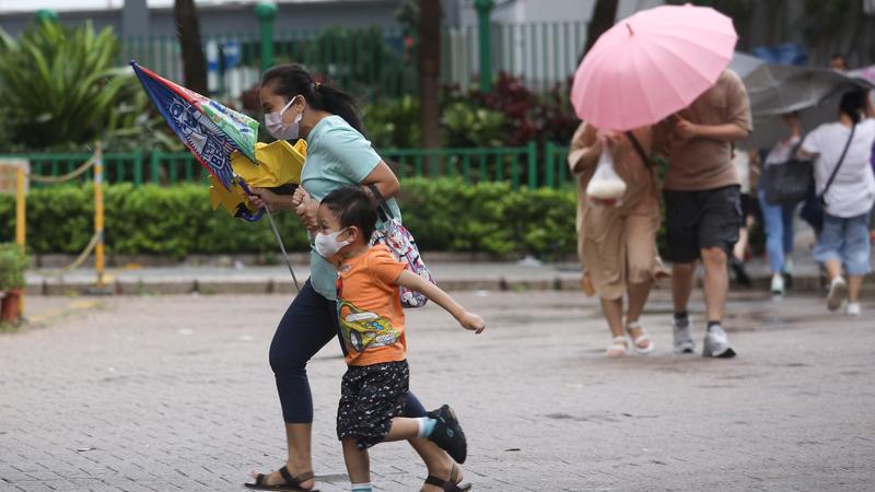
 Residents try to find shelter in Tseung Kwan O amid strong winds brought on by tropical storm Cempaka, which intensified near Hong Kong on July 19, 2021. (CALVIN NG / CHINA DAILY)
Another tropical cyclone In-fa is expected to move across the seas east of Taiwan and intensify gradually in the next few days.
It will then move in the general direction of the vicinity of the coast of southeastern China, according to the Hong Kong Observatory.


