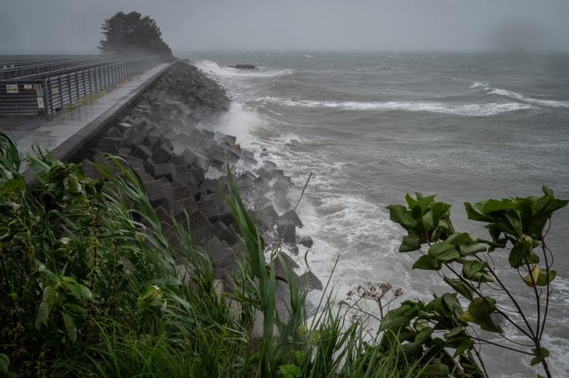
 High waves from weather patterns brought about by Typhoon Nanmadol hit the coastline in Minamata, Kumamoto prefecture on Sept 18, 2022. (YUICHI YAMAZAKI / AFP)
TOKYO - Typhoon Nanmadol bore down on Japan's southernmost main island of Kyushu on Sunday with the Japan Meteorological Agency (JMA) warning of gales and high waves.
The 14th typhoon of the season, which has weakened as it approaches Kyushu, is bringing record rainfall, the JMA said, warning of the risk of overflowing rivers.
The typhoon has caused damage in southern Kyushu including downing a bus stop in Miyazaki prefecture and breaking the window of a pachinko parlor in Kagoshima prefecture, according to public broadcaster NHK
Southern Kyushu could receive 400 mm (16 inches) of rain over the next 24 hours and wind gusts of up to 235 km per hour (145 miles per hour) on Sunday, while the central Tokai region could get 300 mm (12 inches) of rain, the agency forecast.
The typhoon has caused damage in southern Kyushu including downing a bus stop in Miyazaki prefecture and breaking the window of a pachinko parlor in Kagoshima prefecture, according to public broadcaster NHK.
Railway operators and airlines have cancelled services and convenience store chain Seven-Eleven Japan temporarily shut around 950 stores. Toyota Motor Corp said it will idle production at three factories on Monday.
The storm is forecast to turn east and pass over Japan's main island of Honshu before moving out to sea by Wednesday. Heavy rain lashed the capital Tokyo, with the Tozai subway line suspended because of flooding.
ALSO READ: Japan braces for further downpours as Typhoon Meari approaches
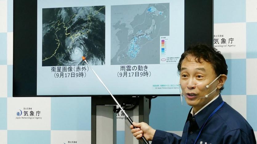
 A director of the Japan Meteorological Agency's Forecast Division holds a press conference on Typhoon Nanmadol in Tokyo on Sept 17, 2022. (STR / JIJI PRESS / AFP)
ALSO READ: Japan braces for further downpours as Typhoon Meari approaches


