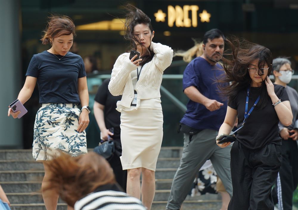
The Hong Kong Observatory (HKO) issued the standby No 1 typhoon signal as tropical cyclone Trami moved steadily westwards on Friday morning. HKO said it will remain in force until at least 6 pm.
Trami is expected to maintain a distance of more than about 600 km from Hong Kong for most of Friday.
Local winds are forecast to be occasionally strong offshore and on high ground under the combined effect of Trami and the northeast monsoon but HKO believes the prevailing winds over Hong Kong will mainly be northerlies.
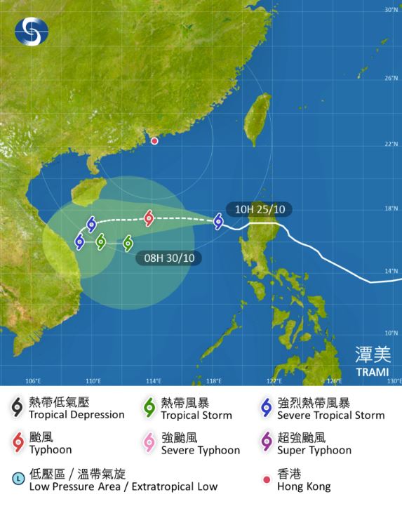
According to the present forecast, Trami will move gradually towards the vicinity of Hainan Island. Local winds will weaken later on Sunday.
“There are uncertainties in the subsequent movement of Trami,” the observatory said. “It may linger in the vicinity of Hainan Island or even move eastwards across the central and northern parts of the South China Sea again early next week but will weaken gradually.”
READ MORE: Hong Kong to consider raising typhoon signal No 3 on Friday
HKO said the weather in Hong Kong will be mainly fine Friday, initially dry and becoming cloudy with one or two showers at night. There will be swells.