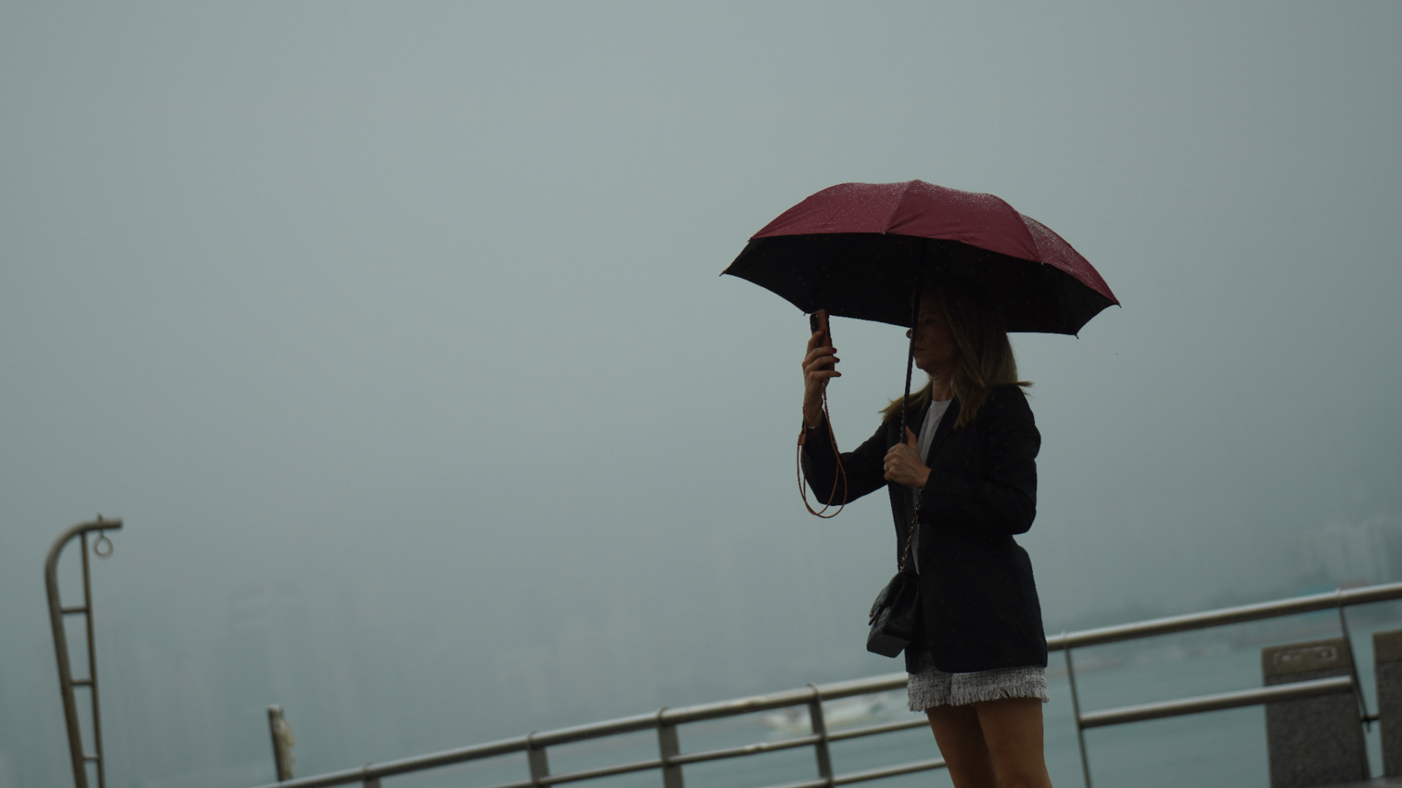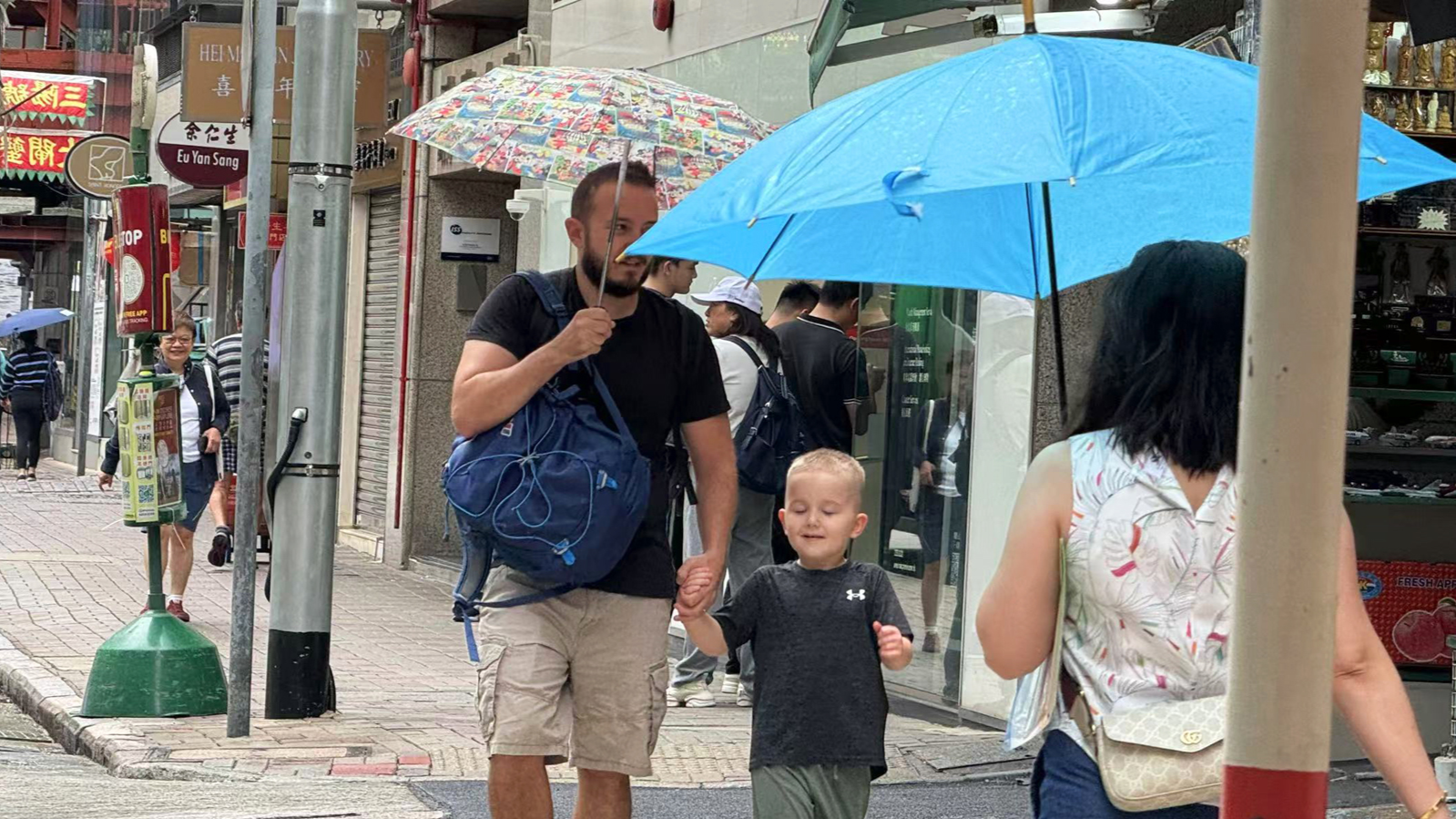
Hong Kong experienced a wet and warmer November with three tropical cyclones that led to the issuance of three typhoon warnings for the first time in November since 1946, the Hong Kong Observatory said on Tuesday.
The HKO said in a statement that while November was cloudier and wetter than usual, the mean temperature of 23 degrees Celsius for the month was above normal levels.
“Despite the rather gloomy and rainy conditions, the month was warmer than usual with the mean temperature of 23.0 degrees, 0.8 degrees above the normal and one of the ninth highest on record for November,” the HKO said.
“Together with the higher than usual temperatures in September and October, the autumn of this year was much warmer than usual,” it added.
ALSO READ: HKO issues T3 signal as Super Typhoon Yinxing nears
The HKO said the mean temperature of 26.5 C and mean minimum temperature of 24.5 C were both the highest on record for autumn in Hong Kong.
The mean maximum temperature of 29.2 C was also one of the highest on record for the same period, it added.
The HKO said the mean amount of cloud for the month at 71 percent was also around 13 percent above the normal level of 58 percent.

The monthly total rainfall recorded at the HKO was 194.1 millimeters, about five times the November normal of 39.3 millimeters and the second highest on record for November, just after the 224.2 millimeters recorded in November 1914.
However, the city’s accumulated rainfall up to November this year was 2,309.7 millimeters, or a deficit of around 4 percent compared with the normal of 2 402.4 millimeters for the same period, it added.
ALSO READ: HKO issues T8 as cyclone Toraji edges closer to Hong Kong
November was characterized by the successive strikes of tropical cyclones Yinxing, Toraji and Man-yi at the end of the typhoon season, the HKO said.
After skirting past the northern part of Luzon in the Philippines, Yinxing tracked westwards on November 8 and 9 across the northern part of the South China Sea. It then turned southwestwards over the seas southeast of Hainan Island and weakened gradually on November 10 and 11.
On the afternoon of November 11, Toraji entered the central part of the South China Sea after moving across Luzon and barrelled northwestwards towards the coast of Guangdong.
The HKO issued the No 8 Gale or Storm Signal on November 13, the latest issuance of the T8 warning during a year since 1946.
READ MORE: HK to raise T1 on Monday morning as Super Typhoon Man-yi looms
The following morning, Toraji turned to track slowly westwards across the seas south of Hong Kong before finally weakening on November 15.
Two days later, Man-yi moved across Luzon and turned west-northwestwards across the northern part of the South China Sea the next day. The HKO raised the T1 typhoon signal before Man-yi moved away and weakened.
Five tropical cyclones occurred over the South China Sea and the western North Pacific last month.


