
China's meteorological authority renewed a blue alert for a cold wave on Thursday as freezing air is set to sweep across most parts of the country in the coming days.
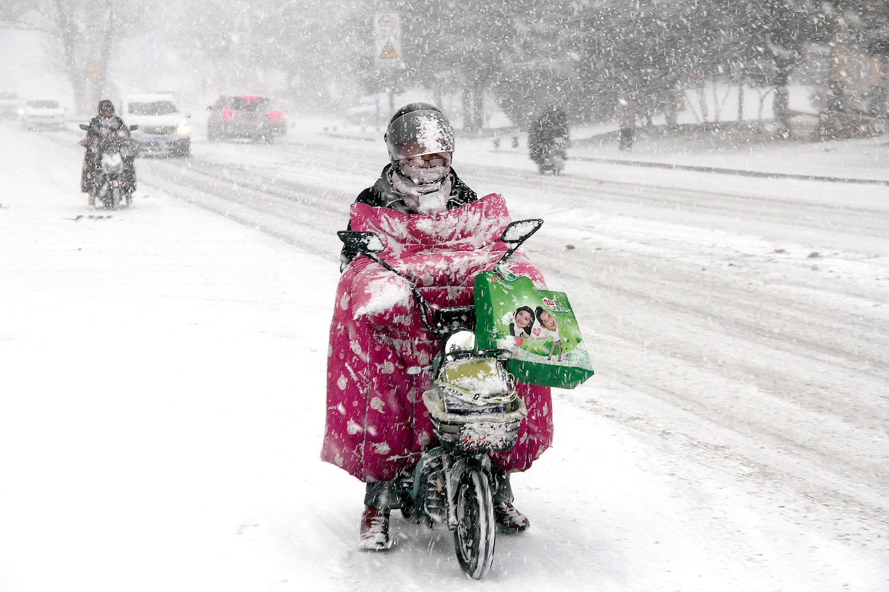
The first cold wave of the year hit central and eastern China on Thursday, sending temperatures plummeting by more than 10 C in some northern areas and bringing winds measuring 9 to 10 on the Beaufort scale, according to the China Meteorological Administration.
The National Meteorological Center issued a blue cold wave warning, predicting temperature drops of 6 to 8 C in most areas north of the Yellow River-Huaihe River line, with some regions in eastern Northwest China, North China and the Yellow River-Huaihe River region experiencing drops of more than 10 C.
READ MORE: China issues blue alert for cold wave
In the south, most regions will see temperatures fall by 4 to 6 C, with some areas experiencing declines of 7 to 8 C, and others dropping by more than 10 C.
Sun Qianqian, a meteorological analyst at the administration, said the cold air is moving southward from the Inner Mongolia autonomous region, reaching as far as South China. North China and the Yellow River-Huaihe River region are expected to see the most significant temperature drops.
The cold wave will also bring strong winds to the north, with sustained winds of levels 4 to 6 and gusts reaching levels 7 to 8 on the scale from Thursday to Saturday. The strongest winds will be concentrated in the North China Plain on Thursday and Friday, where gusts could reach levels 8 to 9, marking the most intense wind event of the year so far, Sun said.
The administration also issued a yellow wind warning on Thursday, predicting that from Thursday to Friday, parts of North China, central Inner Mongolia, the Ningxia Hui autonomous region, northern Shaanxi province and the Yellow River-Huaihe River region will experience northwesterly winds of levels 5 to 6, with gusts reaching levels 7 to 8.
Some areas in central and northern Shanxi province and parts of Beijing, Tianjin and Hebei province will see gusts hit levels of 9 to 10, the administration said.
Coastal areas, including the Bohai Sea, the Bohai Strait, most of the Yellow Sea, the northern East China Sea and the Taiwan Strait, will also see winds reach levels 7 to 8, with gusts reaching level 9.
Light rain was expected across much of southern China, while light to moderate snow was forecast in eastern Inner Mongolia, Heilongjiang province and Jilin province, from Thursday to Friday.
ALSO READ: Intense cold spell expected Thursday through to Spring Festival
The cold wave impact is expected to ease by the weekend. Temperatures in northern China were forecast to begin rising on Saturday, with southern China following on Sunday. Temperatures should then return to normal, with increases of about 10 C. However, another cold front is expected to affect central and eastern regions around Wednesday, according to the administration.
With recent frequent temperature fluctuations in central and eastern China, the public is advised to monitor weather changes and dress accordingly, the administration said.
In northern regions experiencing persistent strong winds, residents should minimize outdoor activities and avoid areas that create wind tunnel effects, such as narrow spaces between buildings, where wind strength can intensify. The administration also urged people to stay clear of temporary structures and advertising boards to prevent injuries from falling objects.
Drivers traveling at high speeds, especially in strong winds, should avoid following closely behind large, heavily loaded trucks, maintain a safe distance, reduce speed and take extra care when turning to prevent rollovers, the administration advised.