HONG KONG – The Hong Kong Observatory raised the typhoon signal No. 1 on Tuesday afternoon as Tropical Cyclone Yagi came within 800 kilometers of the city, which had just experienced an "exceptionally hot" August.
The HKO issued at 5:40 pm the Standby Signal, No. 1, which will remain in force until at least early evening Wednesday, as Yagi is set to gradually move across the northern part of the South China Sea.
“As Yagi gradually edges closer to the coast of southern China, winds over the region will strengthen. The Observatory will consider issuing the Strong Wind Signal, No. 3 later tomorrow,” the HKO said.
ALSO READ: HKO to consider raising typhoon signal No 1 on Tuesday
The observatory added that it will assess the need for higher tropical cyclone warning signals depending on the rate of Yagi's intensification and the distance of its gale winds from the Pearl River Estuary.
As of 4 pm Tuesday, Yagi was centered about 330 kilometers southeast of Dongsha and was forecast to move northwest at about 10 kilometers per hour across the northern part of the South China Sea and intensify gradually.
The HKO said Yagi's strong winds were not yet affecting the Pearl River Estuary as the tropical cyclone was expected to still maintain a distance of more than 400 kilometers from Hong Kong tonight and tomorrow morning.
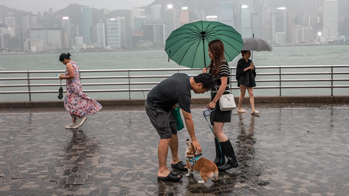
But as Yagi nears, the weather over the coast of Guangdong will deteriorate in the latter part of this week, with heavy showers and thunderstorms expected in Hong Kong later on Thursday.
ALSO READ: April heat breaks Hong Kong’s 140-year record
“There will be heavy squally showers. Seas will be rough with swells. Members of the public should take note of the latest weather forecast,” the HKO said.
Exceptionally hot August
Meanwhile, the HKO said August was “exceptionally hot” in the territory mainly due to the warmer than normal sea surface temperature over the northern part of the South China Sea and a stronger than usual southwesterly flow in the lower atmosphere over the southern coast of the mainland.
“There were 18 hot nights in August 2024, the highest on record for August,” the HKO said.
It said the monthly mean temperature of 29.6 degrees Celsius, monthly mean minimum temperature of 27.7°C
Summer much hotter than usual
“Together with the well above normal temperatures in June and July, this year's summer from June to August was much hotter than usual,” the HKO said.
The mean minimum temperature of 27.5°C
READ MORE: A March with record-breaking high temperature for HK
The HKO said August was also drier than usual with a total rainfall of 261.5 millimeters, only about 58 percent of the normal figure of 453.2 millimeters.
The accumulated rainfall up to August this year was 1,583.4 millimeters, a deficit of about 18 percent compared with the normal of 1,921.5 millimeters for the same period, it added.