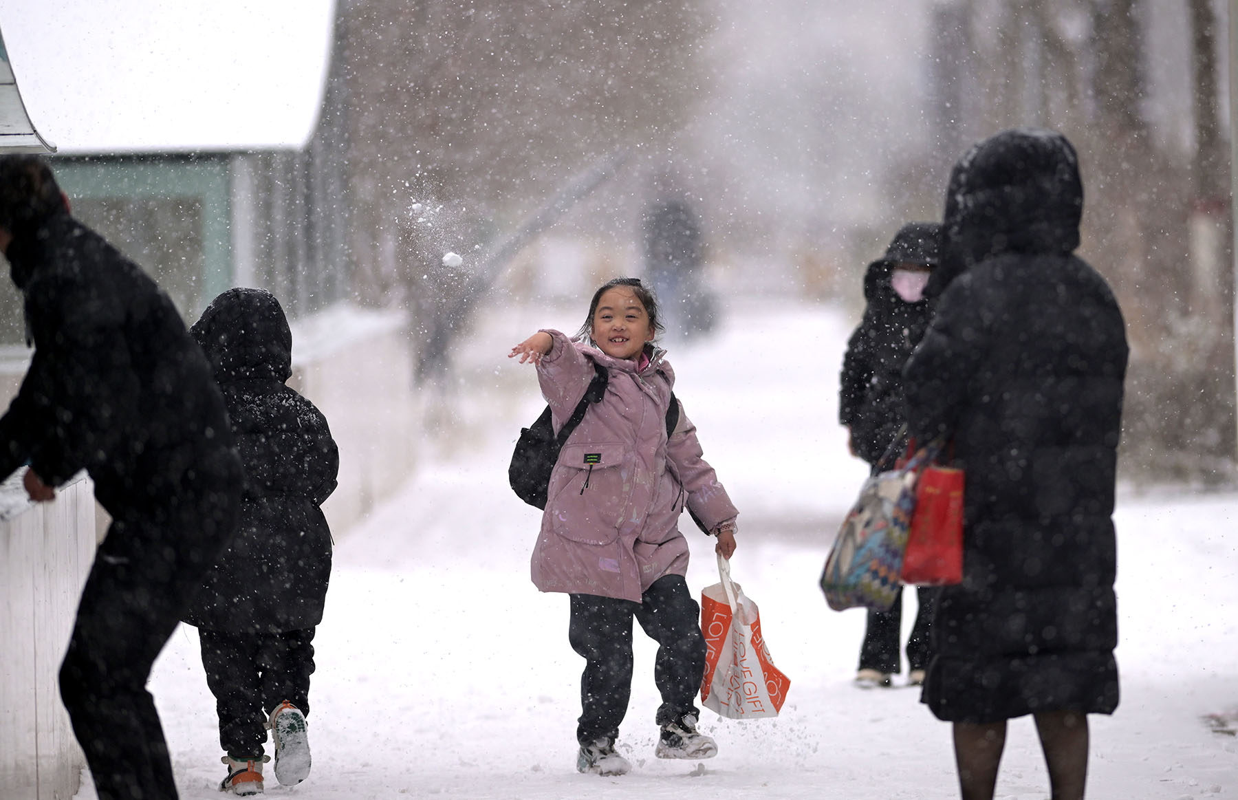
A cold front began sweeping across China on Saturday, bringing the first major temperature drop of the season and widespread rain and snow.
The cold wave, the first of the second half of this year, will last until Wednesday and is expected to reverse the prolonged warm conditions in the central and eastern regions, the National Meteorological Center said.
The center issued a blue cold wave alert, the least severe alert, on Sunday morning, forecasting a temperature drop of 6 C to 10 C across most regions. In eastern parts of Northwest China, northern North China, the Inner Mongolia autonomous region and Northeast China, temperatures could plummet by 12 C to 14 C, with some areas seeing decreases of over 16 C.
READ MORE: Beijing braces for cold wave, rain, snow
By Thursday, the freezing temperatures are expected to push southward to the middle and lower reaches of the Yangtze River. Strong winds are expected during the cold wave, with gusts reaching speeds of over 60 kilometers per hour in some regions.
Northern areas will also experience major snowfall. Heavy snow and blizzards are forecast for eastern Inner Mongolia and parts of Heilongjiang province.
Zhao Wei, chief forecaster at the Beijing Meteorological Service, said the capital so far has not met the criteria for a cold wave alert to be issued, but the cold air is expected to bring rain and snow starting Sunday night.
"The precipitation will be complex. The mountainous areas of Beijing will see snow, while western and northern parts of the city will shift from sleet to snow. Most of the urban areas and plains will initially experience rain, turning to sleet by early Monday morning," Zhao said.
The precipitation is expected to last until noon Monday, with snowfall in mountainous areas reaching significant levels and strong winds following.
"Temperatures will drop sharply, with daytime highs on Tuesday and Wednesday hovering around 3 C and nighttime lows falling to — 5 C on Wednesday," she added.
National Meteorological Center chief forecaster Dong Quan said the strong energy accumulation in the cold air mass will carry with it a broad impact.
China has already experienced two cold air events this month, but their intensity was relatively weak and did not meet the meteorological criteria for a cold wave, Dong said.
ALSO READ: China renews alerts for cold waves, strong winds
"The timing of this season's first cold wave, which typically occurs in November, is similar to previous years," he said.
Following this cold wave, temperatures in most parts of southern China will shift from above-average levels to 1 C to 2 C below normal, he added.
While some areas may see a slight rebound in temperatures after the cold snap, Dong said temperatures are expected to stay below average at least until the end of this month.
The center's mid-term weather forecast indicates another cold air mass will affect much of central and eastern China around Dec 2, causing widespread temperature drops of 6 C to 8 C, with some areas in the north experiencing decreases of more than 10 C.


